Our Maritime Meteorology Solutions
Empowering safe and efficient maritime operations with advanced weather intelligence.
Comprehensive Services for the Modern Fleet

Advanced Weather Forecasting
Our in-depth short and long-range forecasts are powered by high-resolution global and regional models. We monitor specific parameters crucial for maritime safety: wind patterns, wave height, swell direction, and ocean currents. This precise data enables proactive decision-making, minimizing risks and maximizing operational efficiency.
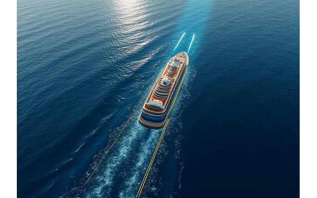
Route Optimization
Leveraging AI and machine learning, we analyze meteorological data to suggest the safest and most economical routes for your vessels. Our system continuously updates routes in real-time, considering fuel efficiency, cargo integrity, passenger comfort, and crew safety, bypassing adverse weather conditions to ensure predictable arrivals.
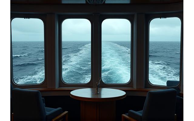
Real-Time Sea State Monitoring
Continuous monitoring of sea conditions provides immediate updates on wave height, swell, and currents. This service significantly enhances both passenger comfort and crew safety by allowing vessels to anticipate and adapt to changing conditions, reducing motion sickness and operational disruptions.
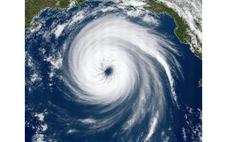
Storm Tracking & Avoidance
We offer 24/7 monitoring of tropical cyclones, hurricanes, typhoons, and other severe weather events. Our alert systems provide timely warnings, combined with expert consultations, to develop effective avoidance strategies. Protect your assets and personnel from the most formidable forces of nature.
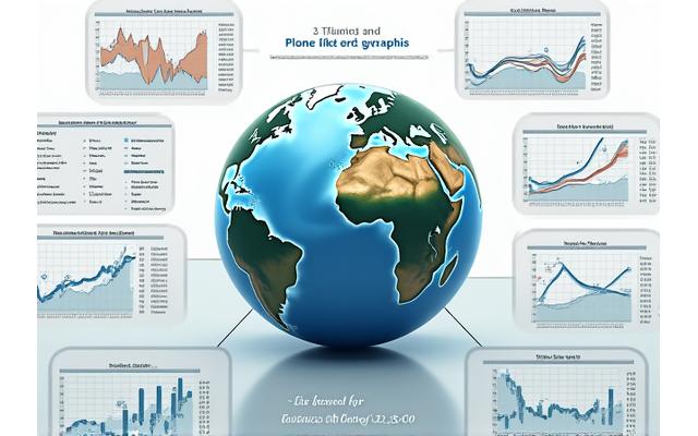
Climate Risk Assessment
Plan for the future with our comprehensive climate risk assessments. By analyzing long-term climate trends and potential impacts, we help cruise lines and shipping operators make informed decisions about future itineraries, asset deployment, and operational resilience in a changing global climate.
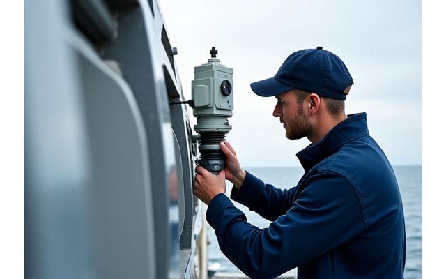
On-Board Equipment Services
Ensure the accuracy and reliability of your vessel's meteorological instruments with our expert calibration and maintenance services. Accurate on-board data is crucial for internal operations and for supplementing our external forecasting capabilities, ensuring seamless integration of all weather intelligence.
Our in-depth short and long-range forecasts are powered by high-resolution global and regional models. We monitor specific parameters crucial for maritime safety: wind patterns, wave height, swell direction, and ocean currents. This precise data enables proactive decision-making, minimizing risks and maximizing operational efficiency.
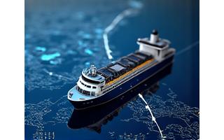
Leveraging AI and machine learning, we analyze meteorological data to suggest the safest and most economical routes for your vessels. Our system continuously updates routes in real-time, considering fuel efficiency, cargo integrity, passenger comfort, and crew safety, bypassing adverse weather conditions to ensure predictable arrivals.
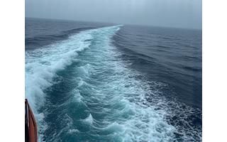
Continuous monitoring of sea conditions provides immediate updates on wave height, swell, and currents. This service significantly enhances both passenger comfort and crew safety by allowing vessels to anticipate and adapt to changing conditions, reducing motion sickness and operational disruptions.
We offer 24/7 monitoring of tropical cyclones, hurricanes, typhoons, and other severe weather events. Our alert systems provide timely warnings, combined with expert consultations, to develop effective avoidance strategies. Protect your assets and personnel from the most formidable forces of nature.

Plan for the future with our comprehensive climate risk assessments. By analyzing long-term climate trends and potential impacts, we help cruise lines and shipping operators make informed decisions about future itineraries, asset deployment, and operational resilience in a changing global climate.
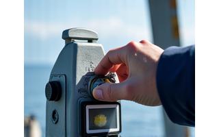
Ensure the accuracy and reliability of your vessel's meteorological instruments with our expert calibration and maintenance services. Accurate on-board data is crucial for internal operations and for supplementing our external forecasting capabilities, ensuring seamless integration of all weather intelligence.
Ready to Optimize Your Maritime Operations?
Contact us today to discuss your specific needs and discover how Oceanic Front can enhance your efficiency and safety at sea.
Request a Consultation